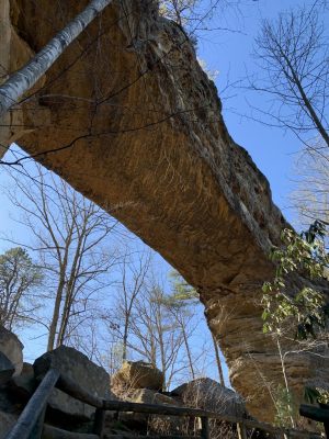
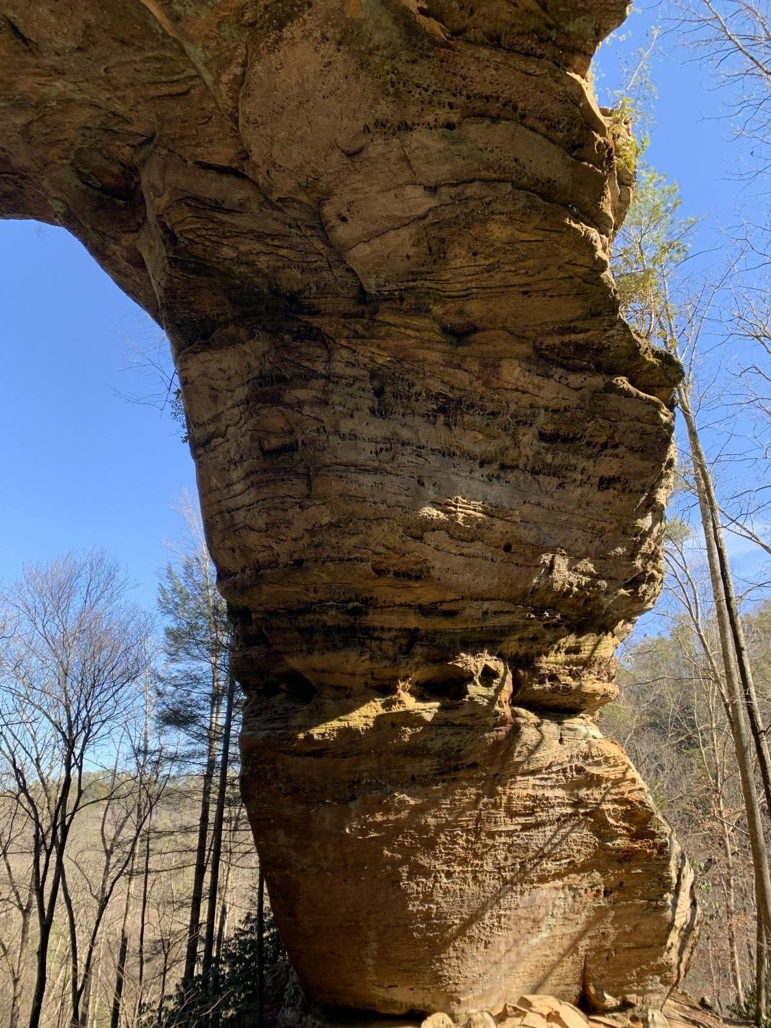
A view of the beautiful Gray’s Arch as you approach it.
Comparing Two Popular Hiking Trails in the Red River Gorge Area
A hike to Gray's Arch and Natural Bridge.
February 6, 2020
Recently, we went hiking on two different trails in the Red River Gorge area: Natural Bridge and Gray’s Arch. Natural Bridge and Gray’s Arch are two very different trails. The bridge is high up and you get a good lookout of the forest around you. The arch is a lower trail, down on the ground. You see rivers and wildlife. Both of the trails are near Slade, Kentucky.
Directions from Versailles: Take I-64 to Winchester. Then exit onto the Bert T. Combs Moutain Parkway. Continue on the parkway until you reach the small town of Slade. Exit onto Natural Bridge Rd. Stay on that road for a short amount on time and then you will reach your destination, Natural Bridge State Park. Gray’s Arch is just past that, toward the Red River Gorge Geological Area off of Tunnel Ridge Road.
Gray’s Arch Hiking Trail
Gray’s Arch
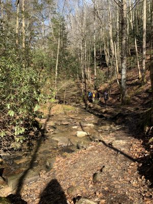
Gray’s Arch hiking trail is a 3.4-mile loop and it is a very heavily traveled trail. During our hike, we ran into several groups of people. We hiked the trail backward, which was recommended. The trail is, overall, moderately difficult. It definitely has some steep uphills that will take your breath away, but it has an equal amount of downhill as well. The trail takes you down to a creek bed. Eventually, you reach the arch. The arch is a beautiful rock structure that you can hike up to and stand underneath. We would recommend this hike for people who are willing to take their time and not rush. This trail is also the one for you if you want to not only see lookouts but up close nature and wildlife, you get a little bit of everything. Overall, this trail is a great way to get an easy workout in and see one of nature’s beauties.
-
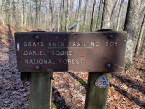
The sign at the beginning of the Gray’s Arch Trail.

-
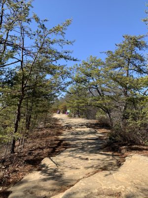
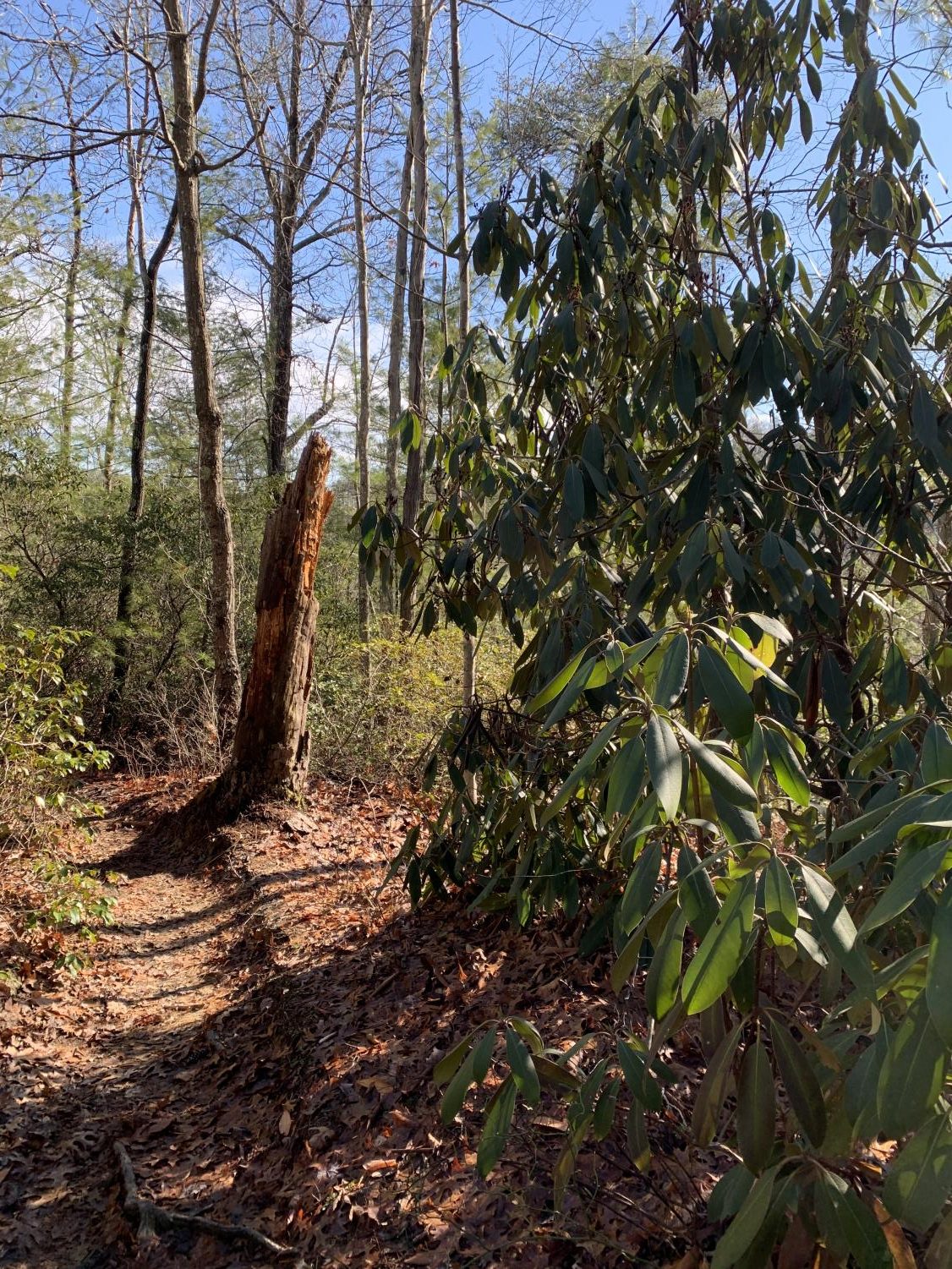
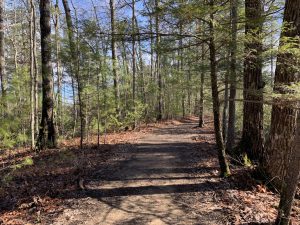
The beginning of the beautiful 3.4 mile trail look to Gray’s Arch.
-
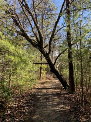
A pretty natural archway of trees on the Gray’s Arch trail.

-
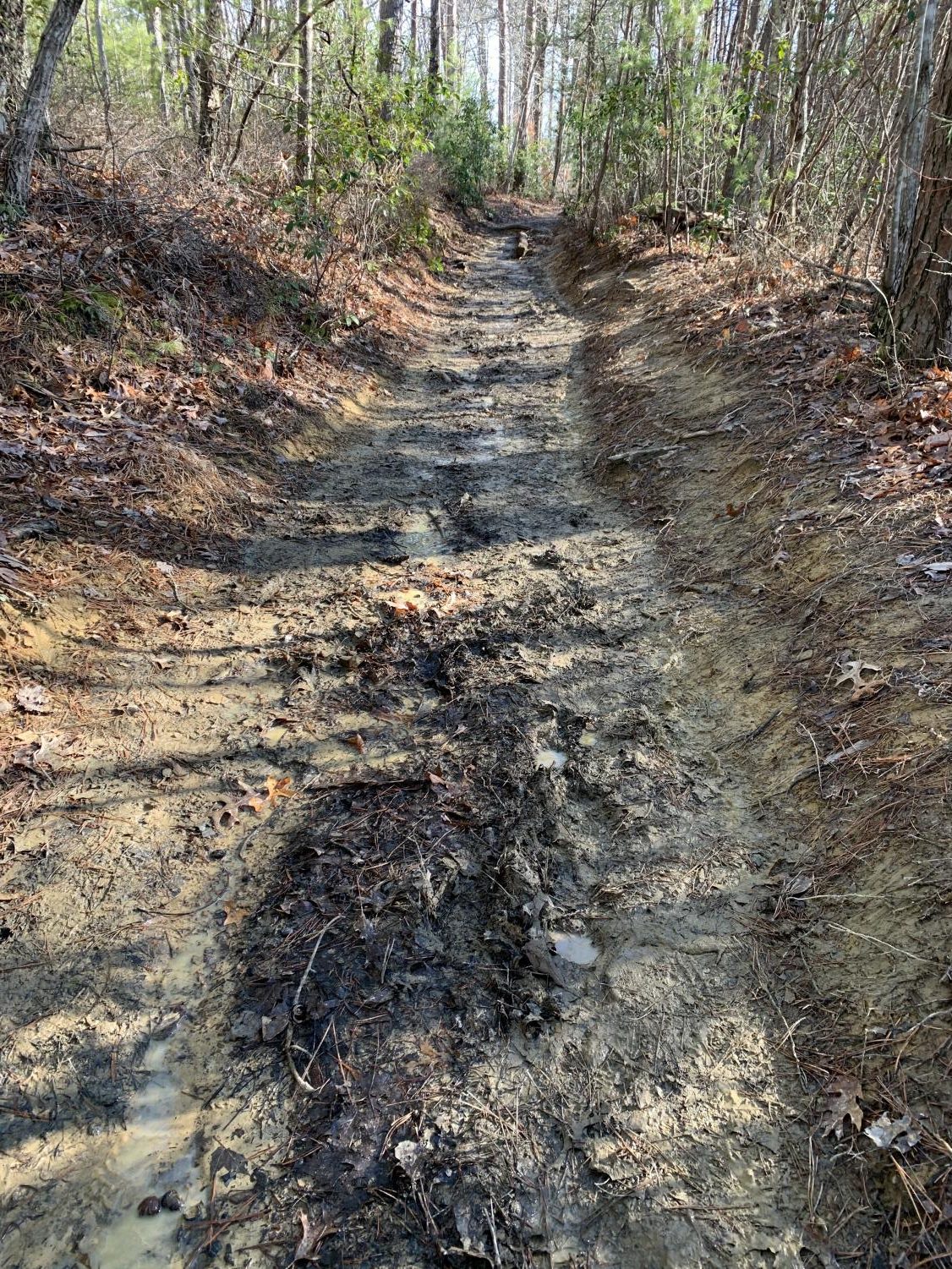
The slippery mud along the path to Gray’s Arch.
-
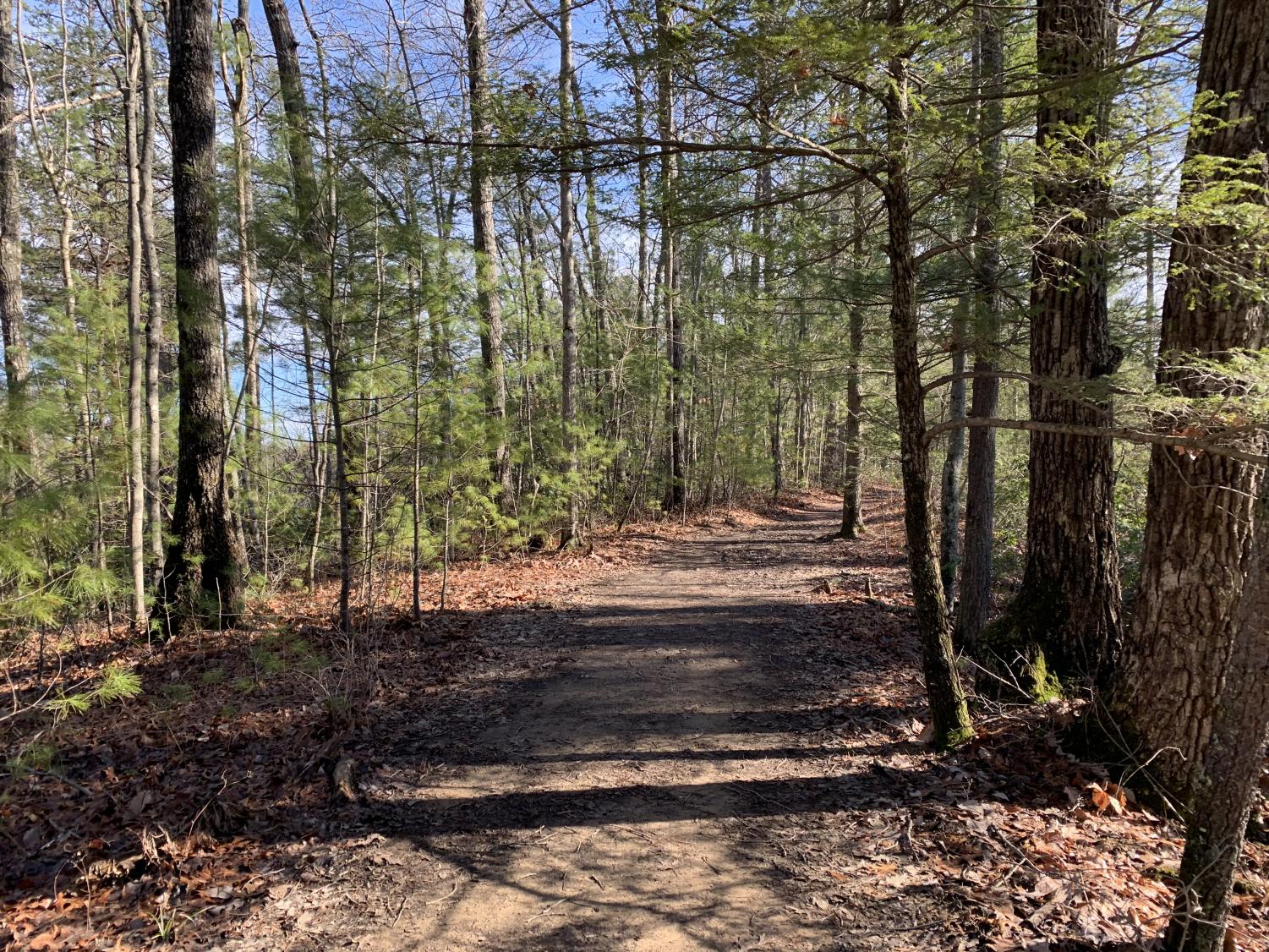
Some of the beautiful scenery on the way to Gray’s Arch.
-
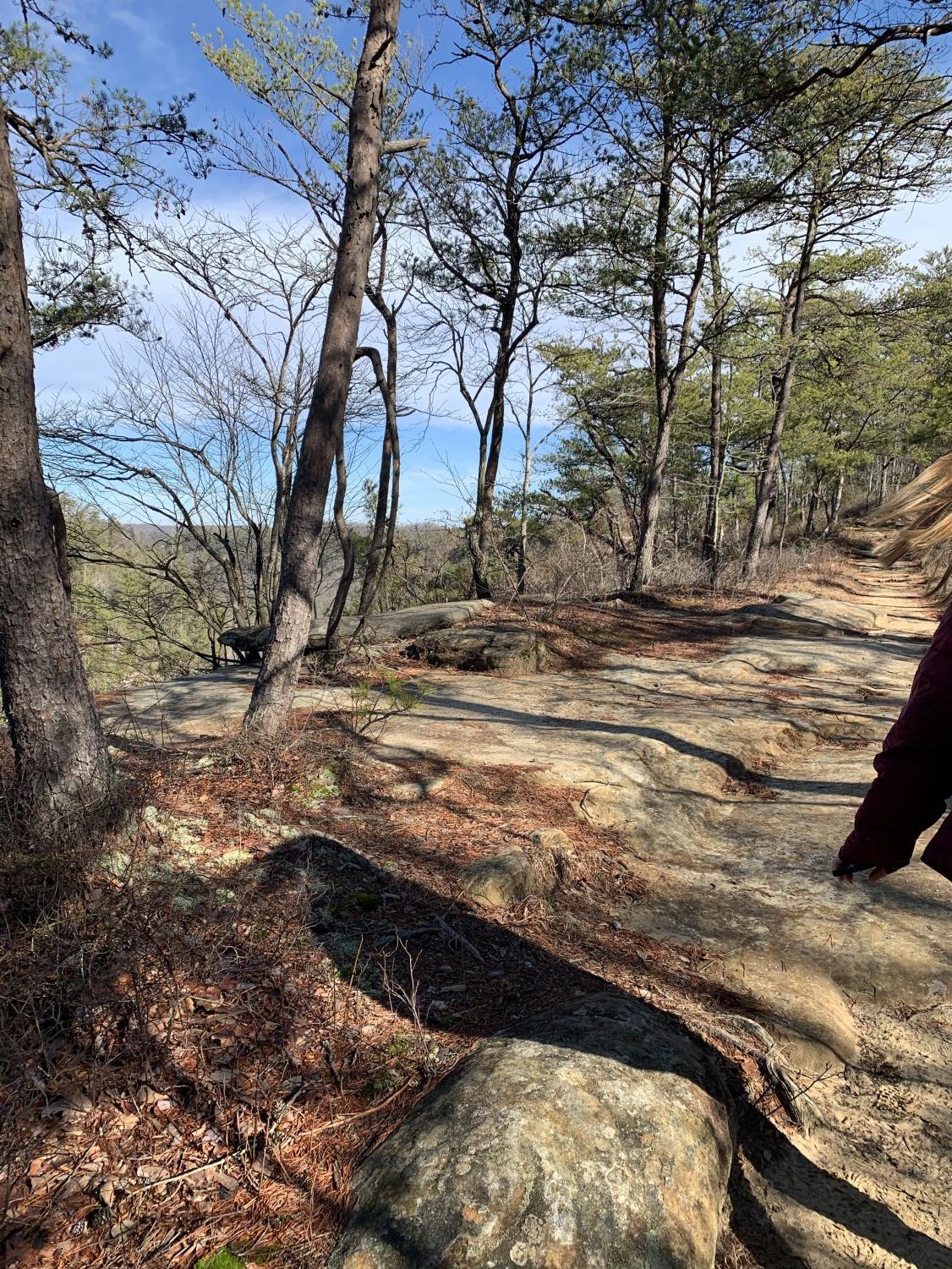
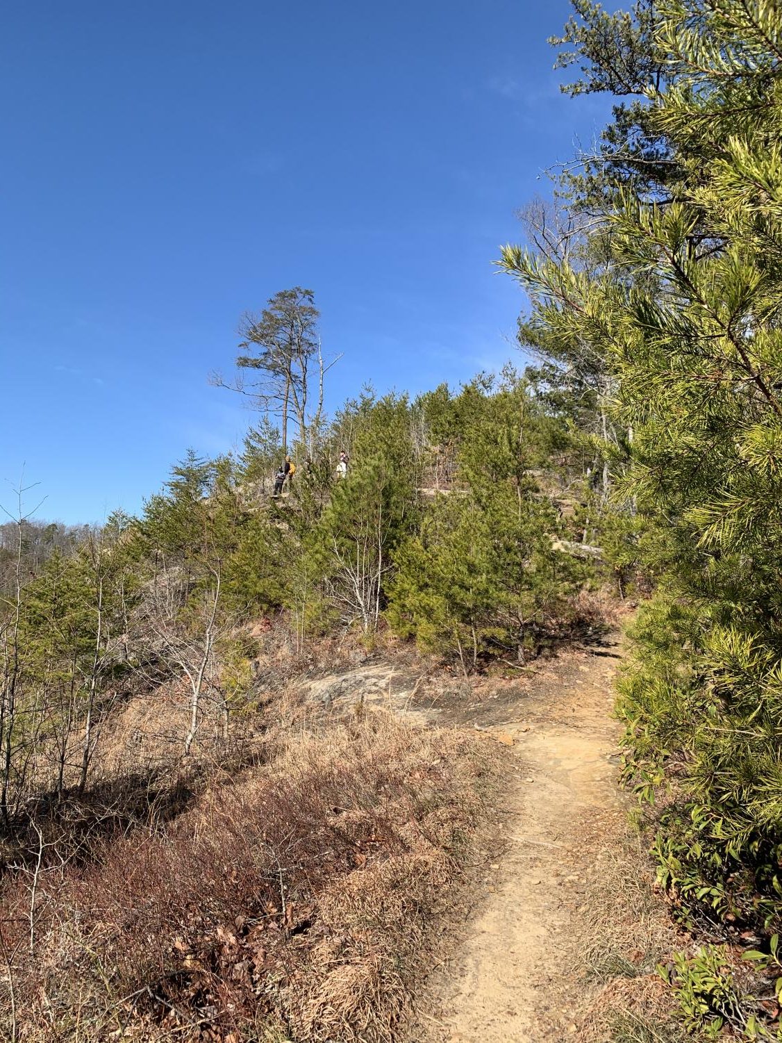
The rocky road to one of the pretty outlooks along the trail.
-
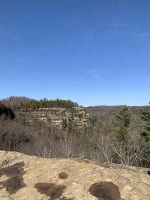
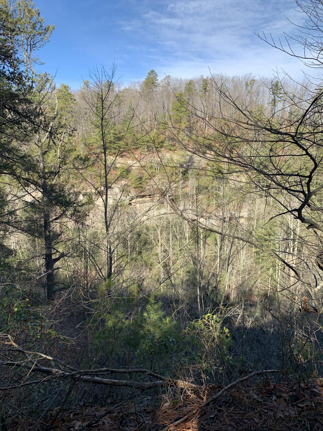
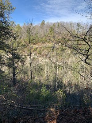
One of many beautiful lookouts along the hiking trail.
-
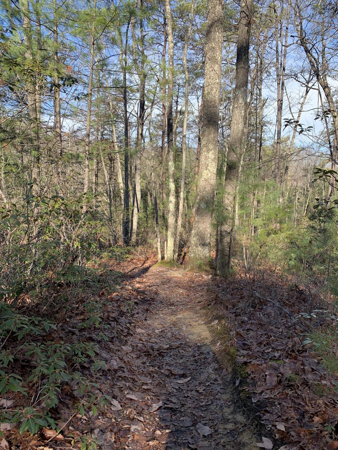
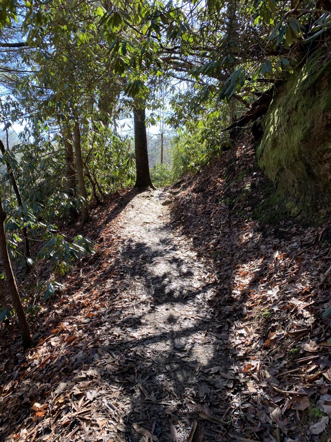
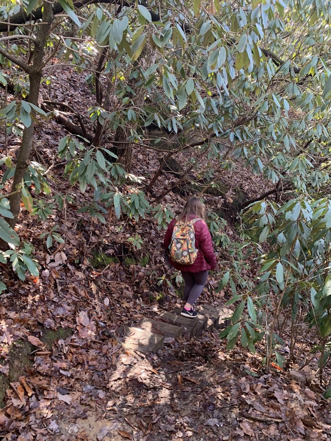
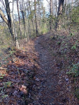
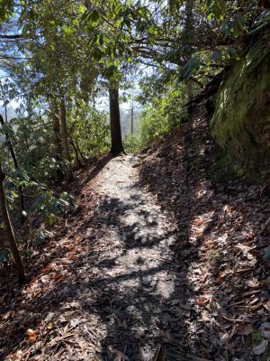
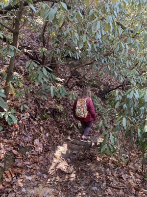
One of the more narrow and secluded parts of the trail to Gray’s Arch.

-
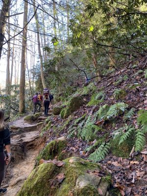
Many of the different types of plants displayed throughout the trail.
-
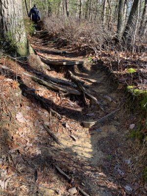
The different terrains and obstacles throughout the trail to Gray’s Arch.

-
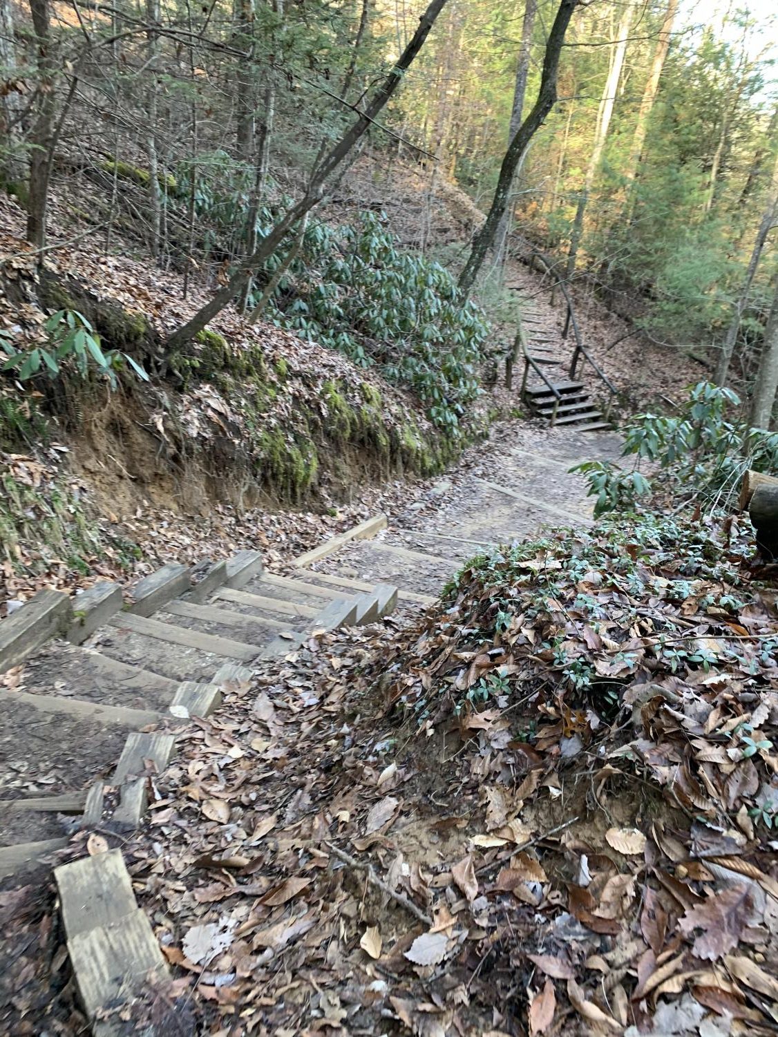
Another uphill climb as you approach the end of the 3.4 mile hike to Gray’s Arch.
-
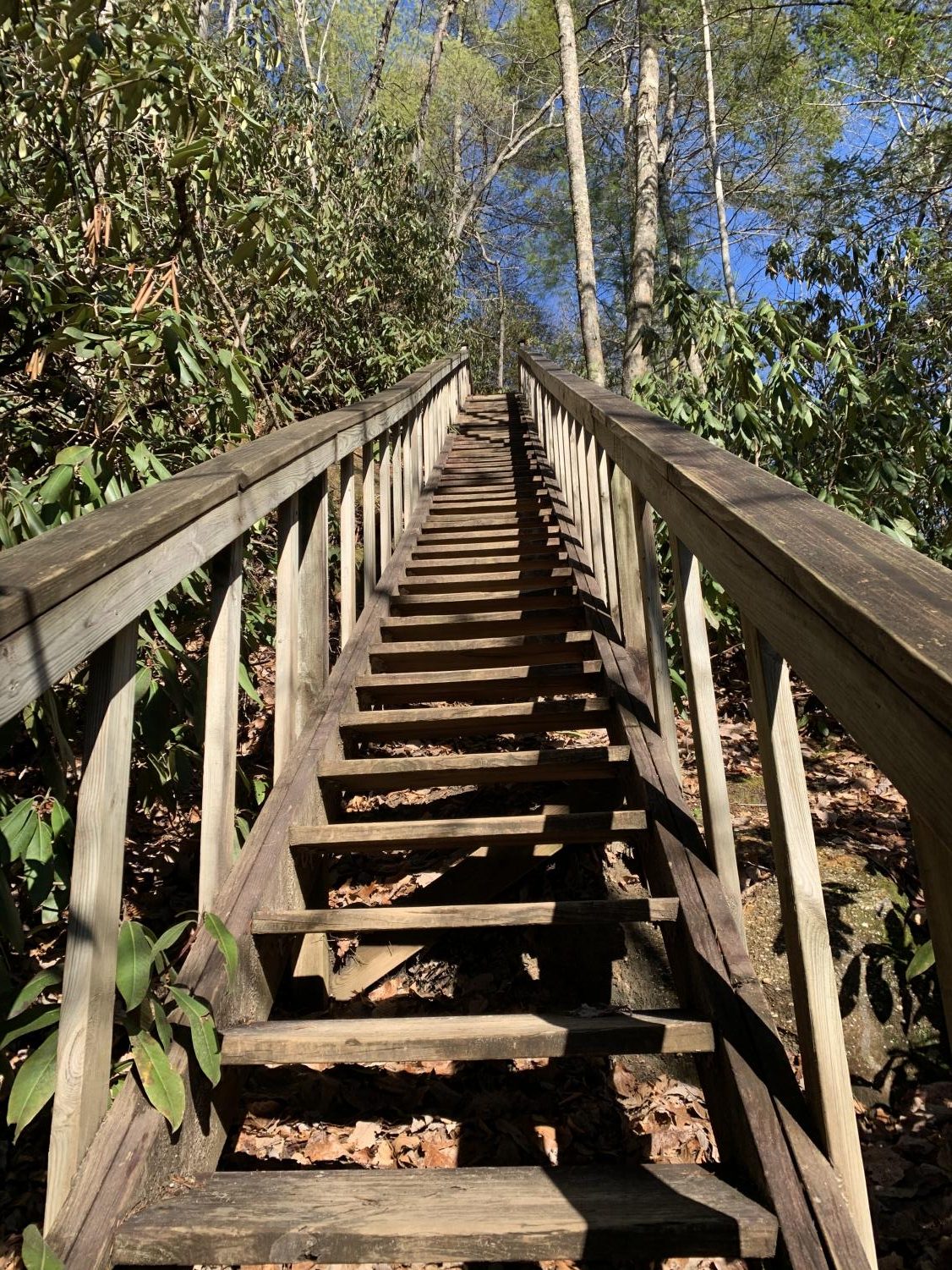
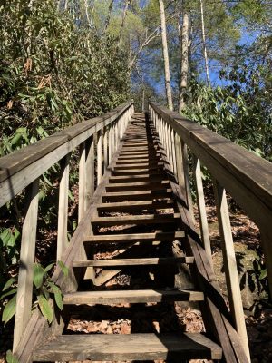
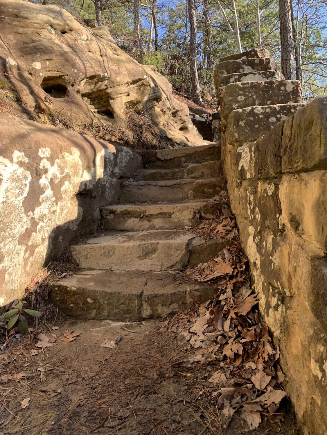
Stairs from the climb back up the hill towards the end of the trail.
-
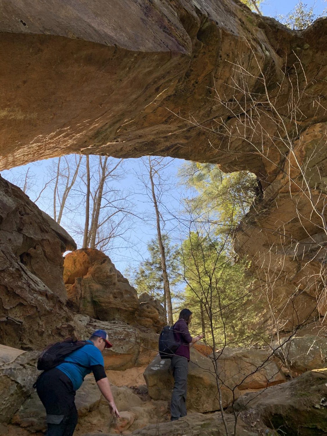
Another view from underneath the Arch as well as a view of the lookout from up high.
-
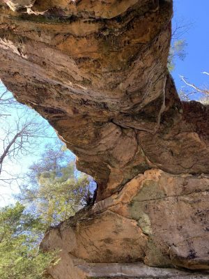
A view of the Arch from standing right underneath.

-
Approaching the Arch towards the end of the climb.
-
Part of the climb up the hill to Gray’s Arch.

-
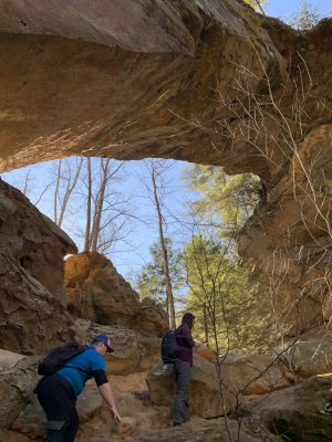
A view of the beautiful Gray’s Arch as you approach it.
-
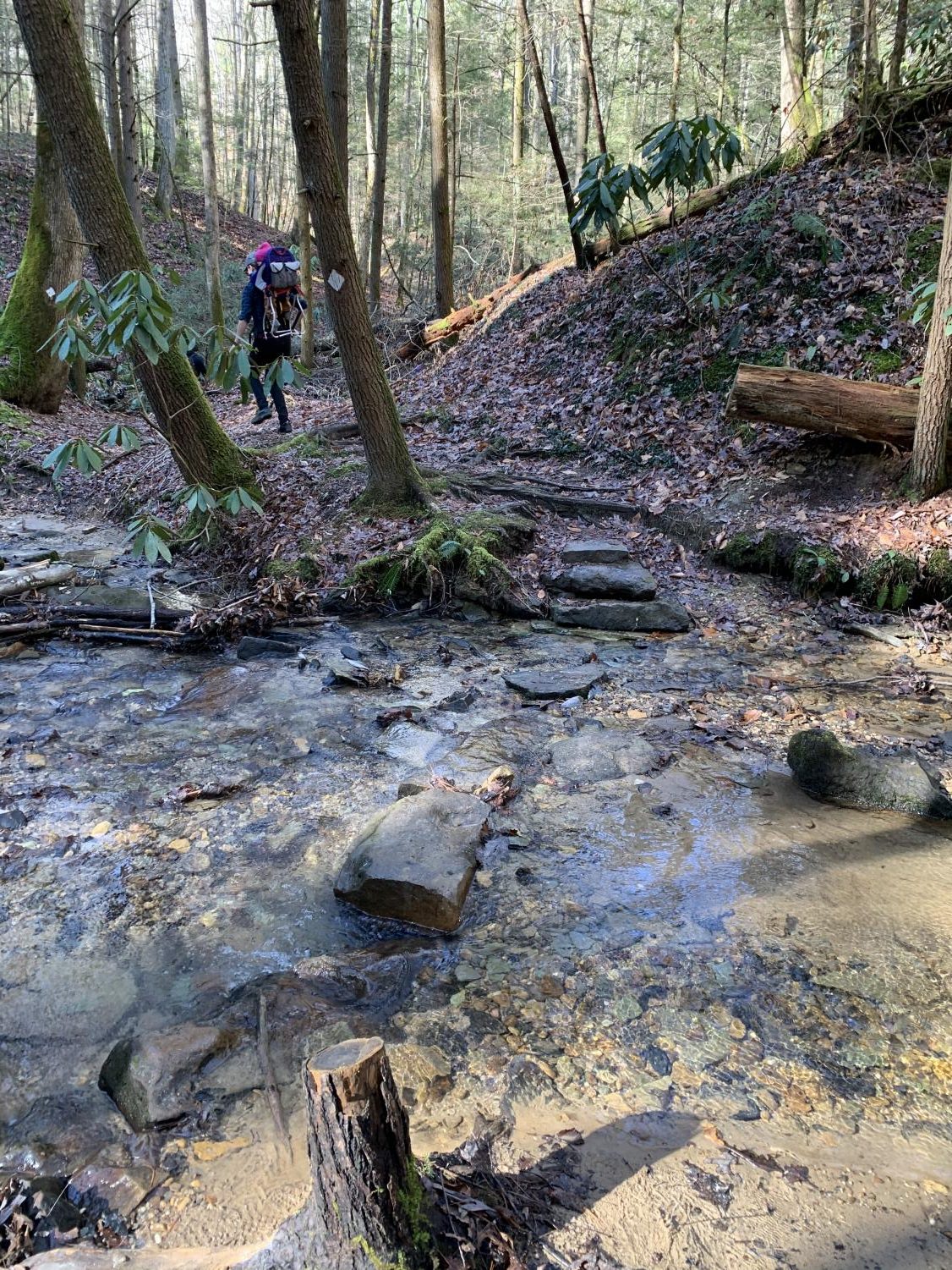
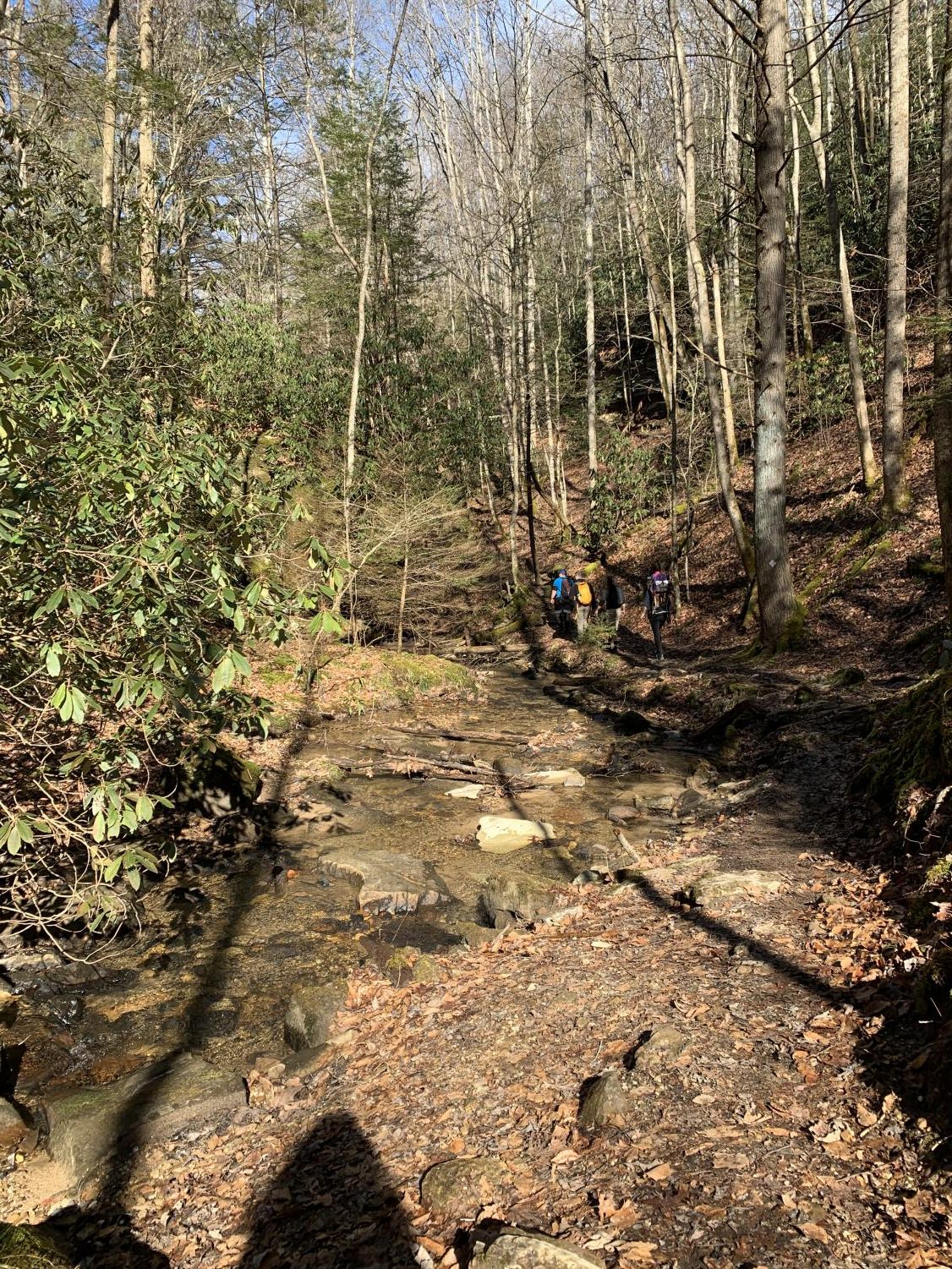
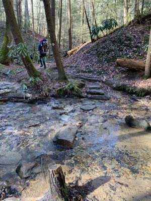
A rock path where you have to cross the creek on the way to Gray’s Arch.
-
The low water creek at the bottom of the hill.
-
A shot of the downhill walk towards the creek bed around Gray’s Arch.
-
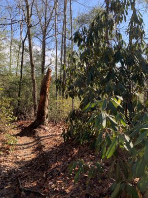
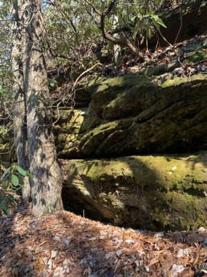
One of many rock structures you see on the way to Gray’s Arch.

-
One of the larger and more popular lookouts along the trail.


Natural Bridge
Natural Bridge
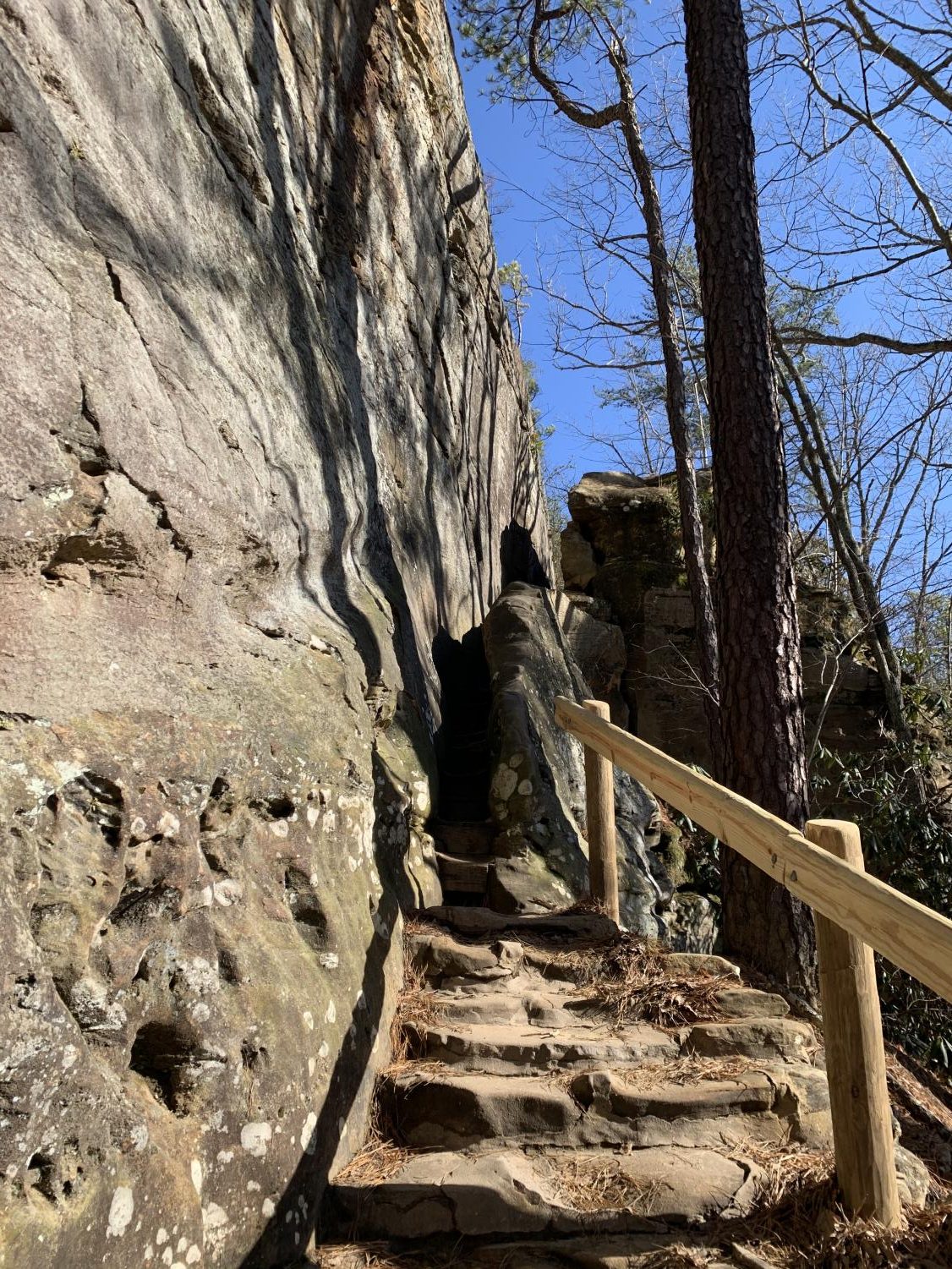
There are several trails at Natural Bridge. We took a 1.6-mile trail that leads up to the bridge. This is the shortest trail you can take to get to Natural Bridge. We saw several people including children while traveling on the trail. As you start getting closer, you have to enter a place known as “Fat Man’s Misery.” It is called this because it is a very narrow tunnel with stairs you climb up to reach your final destination of the breathtaking view at the top of the arch where you can see for miles. But you don’t want to get too close to the edge. On the way down it is just as steep as the way up. Watch your step so you don’t trip (I did that a few times). If you don’t want to take the very challenging hike there is a skylift but it is closed during the winter months so we were unable to take it during our trip. But the hike is 100% worth it in the end.
-
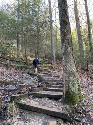
The steep climb up to Natural Bridge.

-
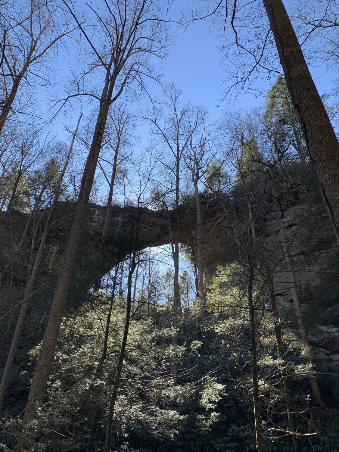
A view of Natural Bridge from underneath as you approach the final set of stairs.

-
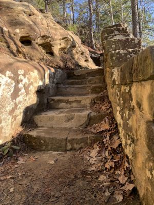
The last set of stairs as you approach the top of Natural Bridge.
-
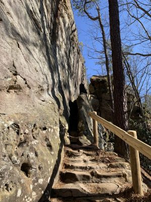
The entrance of “Fat Man’s Misery,” a skinny path between rocks.
-
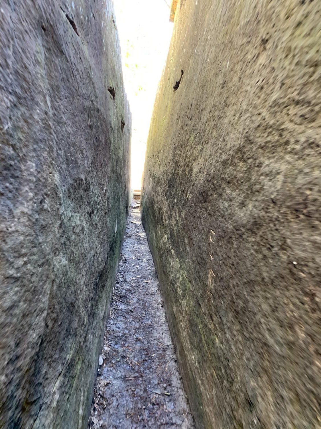
Inside “Fat Man’s Misery” on the way up to Natural Bridge.
-
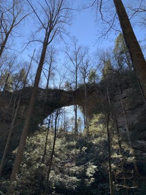
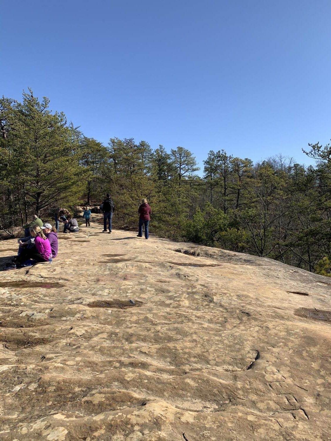
The top of Natural Bridge.

-
Another view of the top of Natural Bridge.
-
A beautiful view from the top of Natural Bridge.

-
The steep steps on the way down from Natural Bridge.